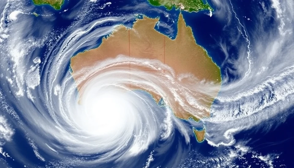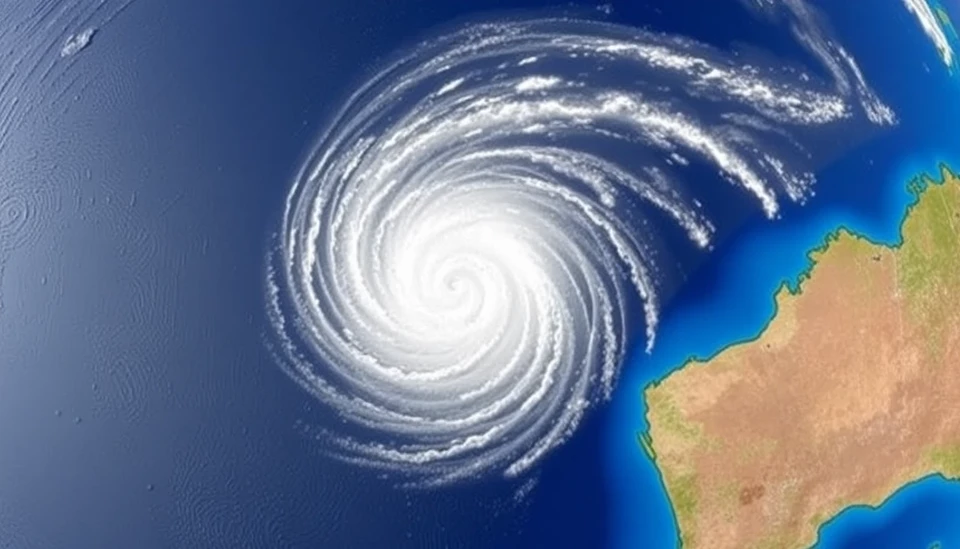
The weather patterns over the southeastern Indian Ocean have taken a dramatic turn as Cyclone Zelia intensifies into a severe cyclone. The Australian Bureau of Meteorology has been monitoring the system closely and has reported that it is now packing winds equivalent to Category 3. As the cyclone churns toward the Australian coast, officials and residents are bracing for its potential impact.
Cyclone Zelia, which formed from a tropical low, was first spotted gaining strength early in the week. Over the past few days, it has developed into a significant weather system, prompting warnings for coastal communities from Western Australia to Queensland. As of the latest updates, the cyclone is expected to make landfall within the next 48 hours, and authorities are urging residents in vulnerable areas to prepare for the worst.
The cyclone is predicted to follow a path that may bring heavy rain, strong winds, and the possibility of storm surges, impacting communities along the northwestern coast of Australia. Preliminary forecasts indicate that Zelia could result in flooding and property damage, prompting emergency services to be on high alert.
In response to escalating concerns, local governments are initiating emergency procedures. Evacuation orders may be issued in areas likely to experience the worst effects of Zelia, with officials encouraging residents to have emergency kits ready, stay informed, and follow safety guidelines. Those in affected regions are advised to remain indoors during peak intensity, taking precautions against flying debris and severe weather conditions.
In addition to local preparations, the Australian Defence Force is on standby to assist with emergency responses. The nation is well-acquainted with the threats posed by severe tropical cyclones, but experts stress the importance of taking every precaution. Meteorologists warn that changes in wind patterns or shifts in the cyclone's trajectory could intensify its impacts, making vigilance critical.
As Cyclone Zelia approaches its predicted landfall, the focus has shifted to monitoring its progression closely. Data from satellite imagery is being used to predict the cyclone's path and impact, and weather alerts are being updated continuously. Residents are advised to stay tuned to news outlets and follow updates from the Bureau of Meteorology for real-time information on Zelia's movements.
The potential risks associated with severe Cyclone Zelia cannot be understated, as the imminent danger it poses is leading to widespread concern in coastal communities. As preparations are being finalized and safety measures put into place, all eyes remain on the cyclone as it moves closer to Australia.
In conclusion, while experts are continuously assessing the cyclone’s behavior and potential threat, the importance of community readiness and adherence to safety protocols cannot be overstated. The situation remains dynamic, and stakeholders at all levels are actively engaged in managing any fallout from Zelia’s approach.
Stay safe and informed as we monitor the situation closely!
#CycloneZelia #SevereWeather #Australia #EmergencyPreparedness #TropicalCyclone #WeatherAlert
Author: Samuel Brooks